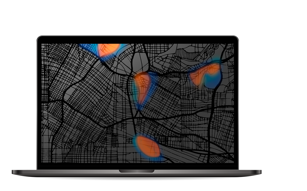
Esri’s ArcGIS
The Power of Advanced Data Analytics in a Single Platform
What is ArcGIS?
ArcGIS an Esri product used worldwide by hundreds of public and private organizations to manage and leverage geographic information.Multiple components conformed it, ArcGIS allows you to generate, manage, use and visualize digital maps in interactive geographic applications from any device, anywhere.
ATISoft® has experience in the implementation of geographic solutions, we provide specialized services in ArcGIS, with them you will be able to:
- Define the expected capabilities of the geographic system, the areas of value that GIS will support.
- Design and customize the GIS solution to meet your goals.
- Install and configure the ArcGIS platform.
- Generate methods and recommendations to use it in a simple way and reduce the learning curve.
- Host and manage the GIS platform.
- Get professional advice
- Review the status of the processes that use geographic information.
Our experience includes: ArcGIS Online, ArcGIS Pro, ArcGIS Enterprise, ArcGIS Desktop, ArcGIS Web, ArcGIS with PI System and the integration of these with other WEB developments.


